Tag: atmosphere
2013 Sees Record High Of Greenhouse Gas Concentrations

2013 Sees Record High Of Greenhouse Gas Concentrations

Greenhouse gas concentrations have been on the rise since they were first studied and recorded in 1958. So it comes as no surprise that the most recent measurements from the World Meteorological Organization show another record high for carbon dioxide concentrations in the atmosphere.

According to the Greenhouse Gas Bulletin released by the World Meteorological Organization Tuesday, the level of carbon dioxide in the atmosphere through 2013 reached 396 parts per million (ppm). This is almost 3 ppm higher than the concentration recorded in 2012.

The rise from 2012 to 2013 represents the largest annual increase since 1984, and the largest increase of the greenhouse gases studied (which also included methane and nitrous oxide). Carbon dioxide is widely acknowledged as one of the most important greenhouse gases to watch, as it can linger in the atmosphere for hundreds of years and traps heat, which leads to rising temperatures.

The following graph from the Greenhouse Gas Bulletin shows the consistent, upward trend of carbon dioxide concentrations during the past 30 years.

via Greenhouse Gas Bulletin

via Greenhouse Gas Bulletin

Carbon dioxide’s long-lasting nature means that the amount of CO2 trapped in the atmosphere will only continue to grow. The graph below shows the spike in 2013, with the rate of growth around 3 ppm. The only other spike as high occurred in 1998, which The Carbon Brief explains was the result of an El Niño event.

from greenhouse gas bulletin

via Greenhouse Gas Bulletin

Natural events, such as El Niño, can greatly influence levels of CO2 in the atmosphere. In the natural cycle of carbon dioxide, humans and animals breathe out CO2, plants absorb it, and oceans and soils absorb and emit CO2. Human activities have significantly altered that cycle. Burning oil, gas, and coal releases much more carbon dioxide than can be absorbed by plants, oceans, and soils. The findings from the Greenhouse Gas Bulletin indicate that increases in greenhouse gas emissions show no sign of subsiding.

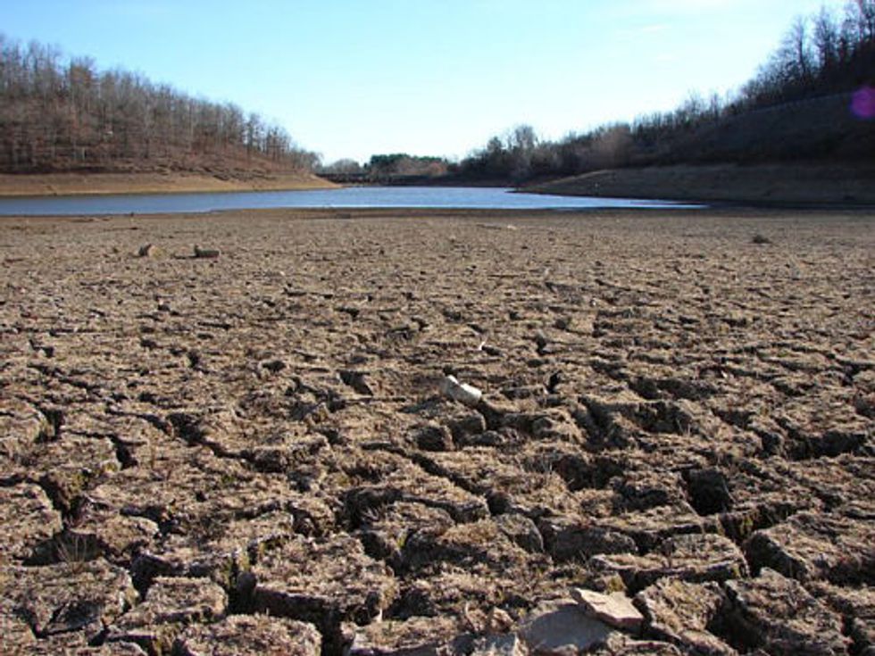
Without aggressive action to limit CO2 and other greenhouse gas emissions, the uptick in concentrations will result in increased temperatures on Earth. The effects of higher temperatures are already being felt: California’s current drought has been deemed a state of emergency by Governor Jerry Brown, with no end in sight.

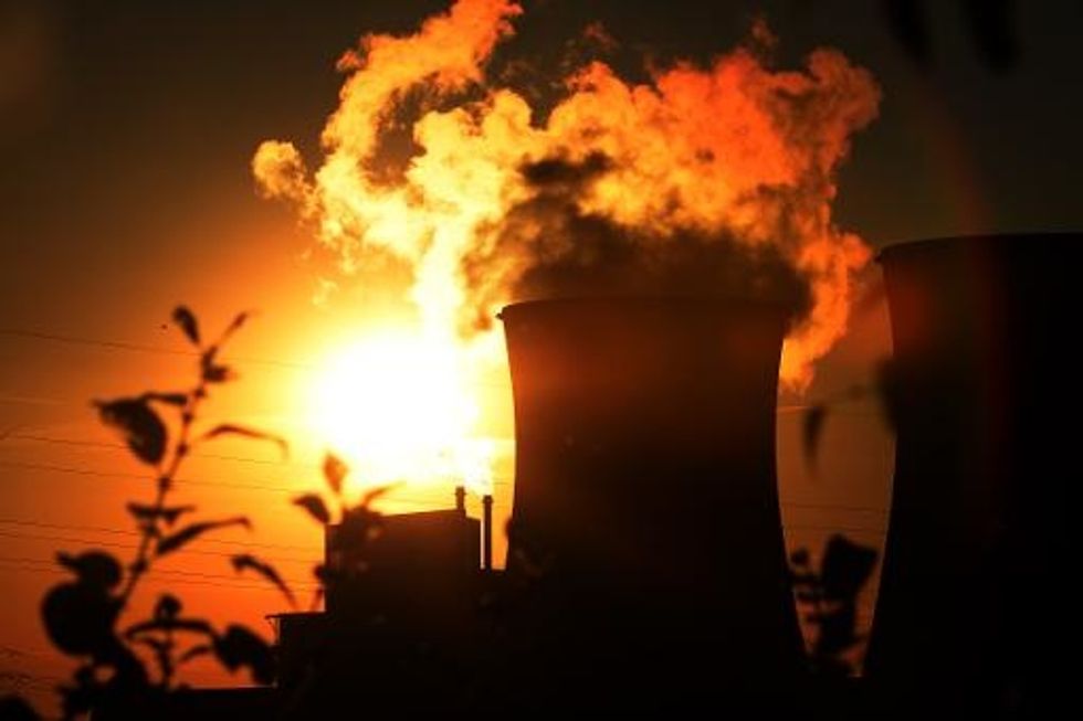
AFP Photo/Patrick Stollarz

Interested in more news about the environment? Sign up for our daily email newsletter!

Strong El Nino, Which Could Bring Soaking Winter Storms To California, Fizzling Out

Strong El Nino, Which Could Bring Soaking Winter Storms To California, Fizzling Out

By Paul Rogers, San Jose Mercury News

SAN JOSE, Calif. — A powerful El Nino that had been emerging in the Pacific is fizzling out, evaporating hopes it will deliver a knockout punch to California’s three-year drought.

A new report from scientists at the National Oceanic and Atmospheric Administration decreases the probability of an El Nino — the condition that occurs when warm Pacific Ocean water at the equator affects the jet stream — to 65 percent starting in October, down from 82 percent in June.

More significantly, researchers said, the ocean water that had been warming steadily through the spring has cooled off in recent months. So most of the world’s leading meteorological organizations now say that if an El Nino arrives this winter, it is likely to be a weak or moderate one — not the kind historically linked with wetter-than-normal winters in California.

“It’s fair to say that it’s plateaued,” said Michelle L’Heureux, a meteorologist with the NOAA Climate Prediction Center in College Park, Md.

Other researchers are more blunt.

“We’re back to square one. It’s finished. I don’t think we even have an El Nino any more,” said Bill Patzert, a research scientist and oceanographer at NASA’s Jet Propulsion Laboratory near Pasadena.

“If I were a betting man, I’d say it’s 75 percent that we’ll have another dry winter,” he said. “The unfortunate fact is that it looks like the last three years all over again.”

To be sure, California could still have a wet winter to help fill depleted reservoirs, replenish streams, and raise over-pumped water tables.

If a steady series of low-pressure systems develops off the Pacific Coast later in the year, that could bring tropical storms dumping rain in large amounts. The trend, known as an “atmospheric river” or “Pineapple Express,” has soaked the state in the past. But it has been all but shut down over the past three years as unusually persistent ridges of high pressure off the coast pushed winter storms north to Canada instead.

But the possibility that a strong El Nino won’t be there to help is “not good news, especially if we are using El Nino as an optimism index. It’s not what we want to see,” said meteorologist Jan Null, with Golden Gate Weather Services in Saratoga.

“It’s like in poker,” he added. “If you have one fewer spade out there, the odds of getting that flush are less.”

Generally speaking, the warmer the ocean water during El Nino years, the greater the likelihood of heavy winter rainfall. During mild El Nino years, when the ocean water is only slightly warmer than historic averages, there are just as many drier-than-average winters in California as soaking ones.

Since 1951, there have been six winters with strong El Nino conditions. In four of them, rainfall from the Bay Area to Bakersfield was at least 140 percent of the historic average, Null found.

But in the 16 winters since 1951 when there was a weak or moderate El Nino, California experienced below-normal rainfall in six of them. There was average rainfall in five and above-normal precipitation in the other five.

Thursday’s NOAA report was based on ocean temperature readings from dozens of buoys, wind measurements, satellite images, and more than a dozen computer models from scientific agencies around the world.

In April, the report noted, Pacific Ocean waters were nearly 4 degrees Fahrenheit warmer than normal along the equator from the surface down to about 1,000 feet deep. But by last month, they had cooled — and are now half a degree cooler than normal. Wind bursts from Indonesia that had pushed warm water toward South America and the United States diminished. And huge amounts of heat dissipated and failed to trigger weather changes in the atmosphere.

“We’ve seen very lackluster atmospheric response,” said NOAA’s L’Heureux. “What typically happens with warm water in the eastern Pacific is that you see rainfall and winds shifting around. But it didn’t happen. It didn’t coalesce.”

As a result, none of the world’s major meteorological agencies is forecasting strong El Nino conditions this year. Most expect that Pacific waters will range from 1 to 2 degrees Fahrenheit warmer than the historic average this fall, which would signal a weak El Nino.

Photo via WikiCommons

Interested in national news? Sign up for our daily email newsletter!