Tag: hurricane season
Fewer Hurricanes Predicted In Updated Forecast

Fewer Hurricanes Predicted In Updated Forecast

By Jenny Staletovich, The Miami Herald

Forecasters upped the odds for a slow hurricane season Thursday, predicting even fewer storms as record strong winds in the upper atmosphere keep a lid on brewing storms.

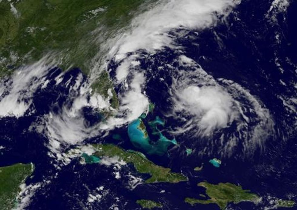
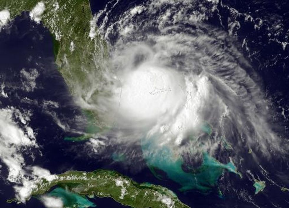
Just five to 10 storms are predicted over the rest of the season that runs through November, said Gerry Bell, lead hurricane forecaster for the National Oceanic and Atmospheric Administration. Counting Arthur and Bertha — two hurricanes that arrived early in July and August — only one to four more hurricanes are forecast. The prediction for the number of major storms with winds topping 110 mph still stands at up to two.

“But that doesn’t mean the season is over,” Bell said. “Four hurricanes is a fair amount and all it takes is one of those to make landfall.”

In May, forecasters predicted eight to 13 named storms, three to six hurricanes, and one to two major hurricanes. They initially believed that an El Nino weather pattern would develop over warming Pacific waters and keep the season in relative check. They also forecast a slow monsoon season off West Africa, in addition to strong winds in the upper atmosphere.

As it turns out, the El Nino pattern has wilted and is now less likely to form during the Atlantic hurricane season. But the record upper winds and weak monsoon conditions appear to be enough to tamp down the season, Bell said. Tropical waters in the Atlantic that feed storms have also remained cooler than expected.

“They’re in place independent of El Nino,” he explained.

Upper atmosphere winds play a crucial role because they make it difficult for storms to grow in strength. Finding out what produced this year’s persistent pattern will take more study, he said, particularly if it relates to climate change.

Since 1981, an average hurricane season has produced 12 named storms, with six hurricanes and three major storms. For the last eight years, Florida — which has been hit more than any other state — has been struck by just one major storm despite more than 1,200 miles of coastline that open it up to storms from almost every direction.

While welcome, this week’s improved forecast should not be taken as a free pass for the season, Bell warned. Forecasters still can’t say in advance what direction storms may take and even one can make life miserable. Take Arthur, which turned the Fourth of July holiday into a frustrating evacuation for much of the Outer Banks when it struck as a Category 2 on July 3.

“There’s no way to predict so far in advance where a hurricane is going to strike,” Bell said. “Even a slow moving tropical storm can dump a foot of rain.”

AFP Photo

Interested in world news? Sign up for our daily email newsletter!

Bertha Now A Hurricane Over Atlantic

Bertha Now A Hurricane Over Atlantic

Miami (AFP) — Bertha picked up strength Monday to become the second hurricane of the Atlantic season, but the storm is not expected to make landfall on the U.S. East Coast, forecasters said.

In its 1500 GMT bulletin, the National Hurricane Center (NHC) put the center of the hurricane about 230 miles east-northeast of Great Abaco Island, in the northern Bahamas.

It was moving towards at 17 miles per hour, with maximum sustained winds of nearly 80 miles per hour and little change in strength expected before Tuesday.

“On the forecast track, Bertha will continue to move away from the Bahamas today and pass about midway between the U.S. east coast and Bermuda on Tuesday,” the NHC said.

It earlier said Bertha was expected to drop up to five inches of rain across eastern portions of the Dominican Republic, as well as the Turks and Caicos through Monday.

Dominican authorities on Sunday declared a red-alert emergency after heavy rains triggered by Bertha toppled trees and flooded the banks of many rivers in the mountainous nation. No injuries were immediately reported.

The 2014 Atlantic hurricane season, from June 1 to November 30, was expected to be quieter than usual, the NHC has said, with eight to 13 tropical storms — of which three to six could rise to hurricane strength.

The year’s first hurricane, named Arthur, swiped the Atlantic seaboard over the July 4 holiday weekend, prompting evacuations in some places with its big waves, strong tidal surges, and up to six inches of rain.

Out in the Pacific, another hurricane, dubbed Iselle, was updated to a category 4 storm with sustained winds of 140 miles an hour.

Iselle was on track to pass just north of the Hawaiian of Oahu on Thursday — although forecasters expected it to weaken in the coming days.

AFP Photo

Interested in world news? Sign up for our daily email newsletter!

El Nino Usually Means Fewer Hurricanes For S.C.

El Nino Usually Means Fewer Hurricanes For S.C.

By Joey Holleman, The State (Columbia, S.C.)

COLUMBIA, S.C. — As the 2014 Atlantic hurricane season begins to heat up this summer so does the ocean surface in the equatorial Pacific, and that’s good news for South Carolina.

The warming in the Pacific, known as El Nino, affects weather patterns worldwide. In terms of hurricanes, “El Nino is our friend,” said Hope Mizzell, state climatologist with the S.C. Department of Natural Resources.

In the past eight El Nino summers — 1982, 1986, 1987, 1991, 1994, 1997, 2002, and 2009 — no hurricane has so much as sniffed the South Carolina coast. Gordon in 1994 did hit hurricane strength briefly as it did an odd loop out in the Atlantic off the state before coming ashore several days later as a tropical depression that simply brought much-needed rain.

The sea surface in the equatorial Pacific has slowly been warming in recent months. Most forecasts have the temperatures hitting weak to moderate El Nino levels in August.

The El Nino tends to create wind shear over the tropical Atlantic that suppresses hurricane formation in systems coming off Africa, Mizzell said. Most of the storm systems that have impacted South Carolina during past El Nino years emerged from the Gulf of Mexico.

As hurricane season hits its typical August and September peak in South Carolina, the slowly strengthening El Nino is comforting. But, like all historical weather patterns, it’s not a sure thing. Already, a system that formed off Africa this week seems to be bucking the trend.

Also, even weak tropical systems can cause serious problems. In 1994, Tropical Storm Beryl had weakened to a tropical depression as it moved through Georgia from the Gulf of Mexico, but it packed enough moisture to cause the worst flooding in 60 years on the Saluda River in the South Carolina mountains.

In 2002, Kyle formed in the central Atlantic, did a couple of loops, then hugged the S.C. coast at tropical storm strength for a destructive day. It tossed out an F2 tornado that destroyed 28 structures and damaged another 78 in Georgetown County, injuring eight people. Serious flooding occurred as far inland as the I-95 corridor.

While El Nino usually means fewer hurricanes form in the Atlantic, “there’s no correlation between the number that form and the number that make landfall,” Mizzell said. And it only takes one hurricane hitting the coast to cause major damage. For instance, only four hurricanes caused damage in 1992, when El Nino conditions were weakening in the Pacific. One of those, Andrew, devastated South Florida and Louisiana.

Despite strolling into the heart of hurricane season with our friend El Nino, “we always need to be prepared,” Mizzell said.

Photo: NASA’s Marshall Space Flight Center via Flickr

Interested in national news? Sign up for our daily email newsletter!

Arthur Gains Strength, Likely To Become Season’s First Hurricane

Arthur Gains Strength, Likely To Become Season’s First Hurricane

By Jenny Staletovich, The Miami Herald

MIAMI — Tropical Storm Arthur continued to gain strength Wednesday as it trudged along the central coast of Florida and is likely to become the season’s first Atlantic hurricane Thursday.
The slow-moving storm with tropical-force winds extending about 80 miles from its center was headed north after briefly moving south on Monday, when it formed. Forecasters with the National Hurricane Center expect Arthur to head past the northeast corner of Florida sometime Wednesday, before turning toward the Carolinas.

At 8 a.m. EDT Wednesday, the storm was 100 miles off Cape Canaveral and moving away from Florida at 6 mph. A hurricane watch was issued for part of North Carolina’s coast early Wednesday as Tropical Storm Arthur moved northward, threatening Fourth of July plans along the East Coast. A tropical storm watch remains in effect from Sebastian Inlet to Flagler Beach in Florida.

A Hurricane Hunter plane, sent to investigate the storm Tuesday afternoon, measured sustained winds of 50 mph with higher gusts. The crew reported being “bounced around pretty good by strong thunderstorms,” before taking refuge at a higher altitude.

Maximum winds were up to 60 mph on Wednesday morning.

“We’re now urging folks on the coast to monitor the situation because a lot of people have beach plans for the holiday, so they need to be watching this real close,” said National Hurricane Center spokesman Dennis Feltgen.

AFP Photo

Interested in national news? Sign up for our daily email newsletter!