Tag: hurricane arthur
Damage But No Casualties As Arthur Hit Some, Missed Some NC Beaches

Damage But No Casualties As Arthur Hit Some, Missed Some NC Beaches

By Anne Blythe, The News & Observer

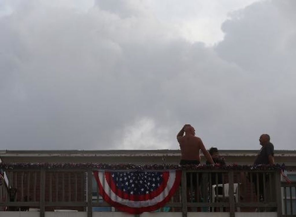
RALEIGH, N.C. — The day after Hurricane Arthur roared ashore at Shackleford Banks with 100-mph winds whipping, the season’s first hurricane left dramatically different legacies on opposite ends of the North Carolina coast.

Along the southern beaches, hotel clerks were as sunny as the clear, blue skies — busily checking in vacationers whose Fourth of July plans were salvaged from a storm that had threatened to wreak more havoc than it actually did.

On the northern barrier islands, already fragile from decades of beach erosion, a string of spring nor’easters and damage from hurricanes Irene and Sandy, the mood was darker.

Residents and business owners were relieved that the fast-moving storm blew through without leaving any reports of serious injury or extensive damage in its wake. But N.C. 12, a fragile transportation artery for the Outer Banks, was closed because of a pavement buckling near a temporary Pea Island bridge. Bonner Bridge, a heavily traveled link to Hatteras Island, remained closed until sonar safety scans could be conducted to determine the integrity of the 2.7-mile structure across Oregon Inlet.

“We have no vacancies,” Sarah Bailey, a busy hotel clerk at Atlantis Lodge on Atlantic Beach, reported late Friday afternoon. “We had some people cancel, but as soon as they did, somebody else called and booked the room.”

About 100 miles away, Jane Metacarpa, owner of the Sand Bar and Grille in Buxton, was not planning to open up her restaurant Friday. She lost sleep as the hurricane winds battered outside her Hatteras Island home, whipping up worries about lost business from factors beyond her control.

“Once somebody called me this morning and told me the restaurant was OK, I went back to sleep,” Metacarpa said Friday afternoon. “Overall, we dodged a bullet. We have to be glad. It could have been so much worse. We’re extremely fortunate. But business-wise, this is about the worst time this could have happened.”

The Fourth of July weekend, according to Carol Dawson, the owner of two motels, a deli and a clothing store on Hatteras Island, is the one that helps islanders “get their bills paid.”

She estimates that a loss of business on Thursday, Friday and Saturday could cost her at least $30,000.

Dawson has been lobbying for years for beach replenishment on Hatteras Island and for a new bridge to be built across Oregon Inlet — two politically charged issues that have put environmentalists and some of the islanders at odds.

“It’s beautiful here now,” Dawson said Friday afternoon. “It’s in the 80s and there are no winds. People would be loving it here, but it’s a ghost town. The business community here — we’re crippled. We’re suffering from economic injury.”

North Carolina Governor Pat McCrory, who met with reporters Friday morning, was more optimistic, relieved that the Category 2 hurricane had left no casualties or serious injuries in its wake.

“That puts a smile on all our faces,” McCrory said.

There were reports of some beach erosion and debris from artificial reefs, minor damage to coastal homes and docks, and some downed trees inland.

With plans to celebrate the Fourth of July in Southport, McCrory said he had pulled off the green emergency management shirt he sported before Hurricane Arthur’s landfall at 11:15 p.m. EDT Thursday and put on his “beach shirt.” The eye of the storm moved offshore by 4:30 a.m. Friday.

“North Carolina beaches are open for business,” he declared.

“Hurricane Arthur produced heavy rains and strong winds, but we are fortunate to have seen minimal impact to our North Carolina’s coastal communities and beaches,” McCrory said.

About 83,400 Duke Energy customers were without power at some point during the storm with the largest number in Carteret County.

Rainfall was moderately heavy in some areas. Parts of Brunswick, New Hanover and Onslow counties got more than 4 inches, according to the National Weather Service.

The American Red Cross reported Friday that it was closing all of its shelters along the state’s coast.

“The Red Cross will work to determine where help is needed and begin mobile feeding, distribution of relief supplies, and emotional support to those affected by the storm,” Barry Porter, chief executive for central and Eastern North Carolina, said in a news release.

The outer bands of Arthur’s rain were east of I-95 at 7:30 a.m., and on the southern coast, the sun was out in Brunswick and New Hanover counties and up the shore on the Crystal Coast. By noon, there was no precipitation in any part of North Carolina.

McCrory cautioned beachgoers, however, about rip currents and urged all to heed the instructions of lifeguards and look at their warning flags.

“We do want people to enjoy the beach, but if the local authorities say don’t get in the water, don’t get in the water,” he said.

Justin Waterfield, an employee at Frisco Rod and Gun in Frisco, a small Hatteras Island community, said he hoped things would get back to normal soon on the barrier islands, too. Typically, the store would be packed on the Fourth of July with customers getting fishing and hunting supplies to take across the street to the beach access area. Though he lamented the loss of business, he celebrated the larger losses avoided from the first hurricane of the season.

“I stayed up the whole night,” Waterfield said. “It was a lot of wind, but it was nothing like what we were expecting.”

AFP Photo/Mark Wilson

Hurricane Arthur Makes Landfall On U.S. East Coast

Hurricane Arthur Makes Landfall On U.S. East Coast

Miami (AFP) – Hurricane Arthur made landfall on the North Carolina shore, packing 100 mph winds and drenching rains in an onslaught dampening America’s July 4 celebrations.

The U.S. National Hurricane Center said the first hurricane of the Atlantic season carried potential for big and damaging waves and powerful tidal surges as it came ashore late Thursday.

It hit the Outer Banks, a series of long and thin barrier islands that are a popular resort area. Tens of thousands of people had hoped to enjoy the U.S. independence day holiday there.

But some evacuations had been ordered even as the hurricane approached. It finally came ashore as a category two hurricane, on a scale in which five is the highest.

Arthur was expected to keep moving up the East Coast but weaken into a cyclone Friday night on Saturday as it approaches Nova Scotia in Canada.

North Carolina Governor Pat McCrory said emergency preparation efforts had been made more complicated by the arrival of thousands of tourists who do not know the local roads well.

Heavy rain and strong winds lashed the North Carolina coast.

Thousands of people were already without power in North Carolina, news reports said, and there was localized flooding in areas including the coastal city of Wilmington.

“Our main issue is the health and safety of our citizens and those people who are visiting North Carolina,” McCrory said.

Emergency declarations were issued by several counties in the southern state, which opened emergency shelters and ordered evacuations in low-lying areas.

“As the hurricane moves north, more counties are likely to declare a state of emergency,” McCrory added.

National Hurricane Center forecasters warned of “large and damaging waves” and cautioned: “Preparations to protect life and property should have already been completed.”

McCrory Wednesday urged residents and tourists to use common sense, to stay out of the water and out of harm’s way, with storm surges of up to five feet predicted.

Up to eight inches of rain were expected in coastal areas.

“Don’t put your ‘stupid hat’ on,” McCrory said.

“Let’s hope for the best, pray for the best, that Arthur clears out quickly so we can all get back to celebrating our country’s independence, with our families and friends on North Carolina’s beautiful beaches.”

As many as half a million visitors had been expected in the coastal Carolinas for the national holiday, the region’s biggest tourist weekend.

Authorities issued a mandatory evacuation order for Hatteras Island and a voluntary evacuation order for Ocracoke Island, both in North Carolina’s Outer Banks, CNN reported.

But it was not just North Carolina — where tornado warnings were activated in some areas — that was bracing for Arthur’s impact.

The storm threatened to scuttle traditional Independence Day weekend picnics, parades and fireworks displays for millions of Americans along the East Coast, as far north as New England.

Dangerous storm swells were expected as far south as central Florida, weather officials said.

The Atlantic hurricane season began June 1 and runs through November 30.

AFP Photo/Mark Wilson

Arthur Grows Into A Hurricane, Headed Toward Carolinas

Arthur Grows Into A Hurricane, Headed Toward Carolinas

By Jenny Staletovich, The Miami Herald

MIAMI — Arthur became the season’s first hurricane early Thursday, headed toward the Carolinas after forming as a meandering tropical depression off the steamy coast of Florida earlier this week.

The storm, with 75 mph winds, struggled to maintain its eye overnight but should continue to intensify as it bears down on the coast, likely moving perilously close to the Outer Banks by Thursday night or early Friday, the National Hurricane Center reported.

Hurricane warnings were issued for much of North Carolina’s coast. A hurricane watch also extended just over the state line into South Carolina.

While Arthur barely affected South Florida, bands of rain and thunderstorms lashed the area early in the week. With the most persistent storms trailing Arthur’s south side, some thunderstorms may have packed 50 mph wind gusts, the National Weather Service said. The messy weather should clear out Thursday, with normal afternoon storms and showers resuming just in time for the holiday weekend.

Holiday and weekend storms should be primarily inland, said National Weather Service meteorologist Chuck Caracozza.

As the storm, with hurricane winds extending 25 miles from its center and tropical storm winds reaching 90 miles, cruises north into the Carolinas, a combination of storm surge and high tide may trigger coastal flooding. If the surge rides a high tide, flooding in parts of Florida’s coast near Fernandina Beach could reach three feet. Isolated spots near Amelia Island may have had more.

In North Carolina, areas could get as much as two to four feet of water, accompanied by damaging waves, forecasters said. Flooding may reach one to three feet in parts of South Carolina and one to two feet in southern Virginia. Rip currents will also follow the storm north.

Fourth of July holiday plans were interrupted for much of North Carolina, where the state’s governor placed coastal counties under a state of emergency. A mandatory evacuation was issued for Hatteras Island.

Forecasters are keeping a careful eye on Arthur’s track because even a slight turn, coupled with a growing wind field, could expand the range of hurricane winds.

Arthur also picked up speed slightly overnight, increasing to about 9 mph. Moving over colder water faster could keep the storm from gaining strength, hurricane center spokesman Dennis Feltgen said.

“It’s a good thing in that it won’t be hanging around,” he said. “So this thing won’t be grinding away along the coastline.”

On Friday, west winds carried by a northerly jet stream should drive Arthur away from shore off the coast of New England and up into Canadian waters by Saturday.

AFP Photo

Interested in national news? Sign up for our daily email newsletter!